Google Maps
The Best web mapping service developed by Google is Google Maps. It offers satellite imagery, street maps, 360° panoramic views of streets (Street View), real-time traffic conditions (Google Traffic), and route planning for traveling by foot, car, bicycle or public transportation. Google Maps offers an API that allows maps to be embedded on third-party websites and offers a locator for urban businesses and other organizations in numerous countries around the world. Google Map Maker allowed users to collaboratively expand and update the service’s mapping worldwide. However, crowdsourced contributions to Google Maps were not discontinued as the company announced those features will be transferred to the Google Local Guides program.
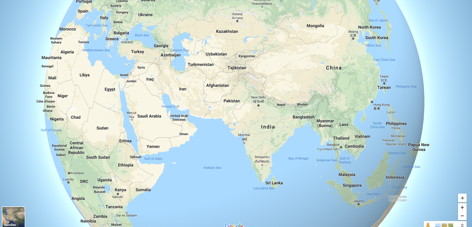
Google Maps satellite view is a “top-down” or “birds-eye” view, most of the high-resolution imagery of cities is aerial photography taken from aircraft flying at 800 to 1,500 feet (240 to 460 m), while most other imagery is from satellites. Much of the available satellite imagery is no more than three years old and is updated on a regular basis.

Google Maps used a variant of the Mercator projection, and therefore cannot accurately show areas around the poles. However, in August 2018, the desktop version of Google Maps was updated to show a 3D globe. Google Maps for Android and iOS devices was released in September 2008 and features GPS turn-by-turn navigation along with dedicated parking assistance features. In August 2013, it was determined to be the world’s most popular app for smartphones, with over 54% of global smartphone owners using it at least once.
Directions
Google Maps provides a route planner, allowing users to find available directions through driving, public transportation, walking, or biking. Google has partnered globally with over 800 public transportation providers to adopt General Transit Feed Specification (GTFS), making the data available to 3rd parties. Google Traffic offers traffic data in real-time, using a colored map overlay to display the speed of vehicles on particular roads. Crowdsourcing is used to obtain the GPS-determined locations of a large number of cell phone users, from which live traffic maps are produced.
Implementation
Like many other Google web applications, Google Maps uses JavaScript extensively. As the user drags the map, the grid squares are downloaded from the server and inserted into the page. When a user searches for a business, the results are downloaded in the background for insertion into the side panel and map, the page is not reloaded. Locations are drawn dynamically by positioning a red pin (composed of several partially transparent PNGs) on top of the map images. A hidden IFrame with form submission is used because it preserves browser history. The result is termed a slippy map and is implemented elsewhere in projects such as Layers. The version of Google Street View for classic Google Maps requires Adobe Flash.
Extensibility and Customization
As Google Maps is coded almost entirely in JavaScript and XML, some end users have reverse-engineered the tool and produced client-side scripts and server-side hooks which allowed a user or website to introduce expanded or customized features into the Google Maps interface. Combinations with photo sharing websites, such as Flickr, are used to create “memory maps”. Using copies of the Keyhole satellite photos, users have taken advantage of image annotation features to provide personal histories and information regarding particular points of the area.
Google Maps API
Google launched the Google Maps API in June 2005 to allow developers to integrate Google Maps into their websites. It was a free service that didn’t require an API key until June 2018, when it was announced that an API key linked to a Google Cloud account with billing enabled would be required to access the API. By using the Google Maps API, it is possible to embed Google Maps into an external website, on to which site-specific data can be overlaid. Although initially only a JavaScript API, the Maps API was expanded to include an API for Adobe Flash applications, a service for retrieving static map images, and web services for performing geocoding, generating driving directions, and obtaining elevation profiles.
Over 1,000,000 websites use the Google Maps API, making it the most heavily used web application development API. The Google Maps API is free for commercial use, provided that the site on which it is being used is publicly accessible and does not charge for access, and is not generating more than 25,000 maps accesses a day. Sites that do not meet these requirements can purchase the Google Maps API for Business. The success of the Google Maps API has spawned a number of competing alternatives, including the HERE Maps API, Bing Maps Platform, Leaflet, and OpenLayers via hosting.
Google Maps for iOS and Android devices
Google Maps is available as a mobile app for the Android and iOS mobile operating systems. The Android app was first released in September 2008, though the GPS-localization feature had been in testing on cell phones since 2007. Google Maps was Apple’s solution for its mapping service on iOS until the release of iOS 6 in September 2012, at which point it was replaced by Apple Maps, with Google releasing its own Google Maps standalone app on the iOS platform the following December.

Google Maps apps on Android and iOS have many features in common, including turn-by-turn navigation, street view, and public transit information, find available parking spots in cities, and to give a two-wheeler transportation mode for improved traffic accessibility. Google Maps on iOS received significant praise, the apps have received criticism over privacy concerns, particularly a location history tracking page that offers “step by step” location logging, with privacy advocates advising users to disable the feature, and that an April 2014 privacy policy change enabled Google to have a unified login throughout its iOS apps, helping it identify each user’s interactions within each app.
Google Maps and Street View parameters
In Google Maps, the Google map viewer updates its zoom bar to allow the user to zoom all the way when centred over areas that support higher zoom levels. In the classic version, customized (split) Map and Street View views can be saved as parametrized URL links and shared by users. In the 2013 redesigned version, a much smaller overview window becomes interactive upon hovering it and enables a user to change the location and rotate the Street View and save a parametrized view, as well.
Google Maps isn’t just for directions; it’s also great for locating businesses. Google Maps will enable your business to be located by customers who do a search that relates to your business name or the services you offer. Our developers can integrate Google Maps for your applications. For enhancing your existing apps using the latest technologies such as GPS & Maps. Please Contact Us or drop us a line at info@spgon.com
Author :Ganesh N – Web Developer
Source : www.wikipedia.org